InfoPoland (12994 bytes)

 Historical Maps of Poland   from the Library of Congress Poland: A Country Study Click on image for full size map  


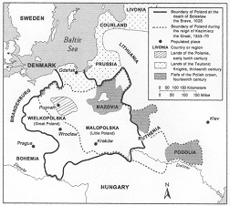
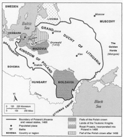
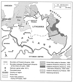
Fig 1. Poland's boundries in the time of Boleslaw the Bold (solid line) and Kazimierz the Great (dashed line) Fig 2. Jagiellon Poland-Lithuania, Fifteenth Century Fig 3. Polish-Lithuanian Commonwealth from the Union of Lublin, 1569 to 1667


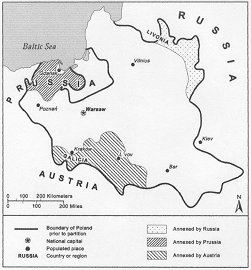
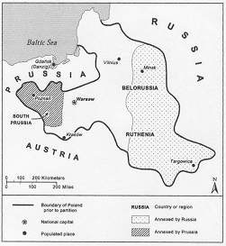
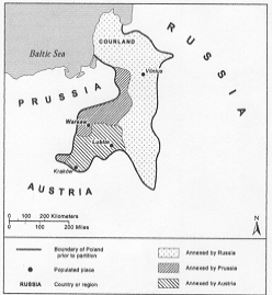
Fig 4. Poland prior to the Partitions. Shaded areas: areas lost as a result of the Paritition of 1772. Fig 5. The Second Partiton. Solid line: Poland's borders in 1793, prior to Partition. Shaded areas: areas lost as a result of the Paritition. Fig 6. The 1795 dismemberment of Poland by the Third Partiton. Solid line: Poland's borders prior to the Partition.


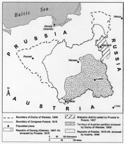
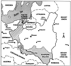
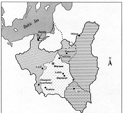
Fig 7. The Duchy of Warsaw in 1809 (dashed line) and Congress Poland in 1815 (solid line). Large shaded area: Territory of the Austrian partition annexed by the Duchy of Warsaw in 1809. Fig 8. Independent Poland, 1920-39. Fig 9. Occupied Poland in World War II


Fig 10. Post World War II territorial shifts.


Info-Poland a clearinghouse of information about Poland, Polish Universities, Polish Studies, etc.
© 2000 Polish Academic Information Center, University at Buffalo. All rights reserved.
Info-Poland   |    art and culture   |    history   |    universities   |    studies   |    scholars   |    classroom   |    book chapters   |    sitemaps   |    users' comments